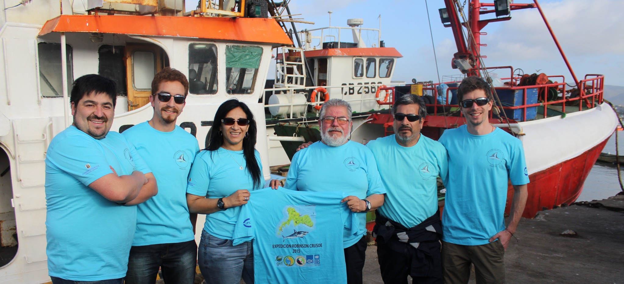

Professionals and Fisheries Development Institute of the Universidad Austral carried GEF-funded project Humboldt Chile scientific cruise. Depart Friday 6 from Coquimbo on board the fishing Vama II. Landfall is scheduled for November 21.
For 15 days Chilean professionals will tour the Pacific Ocean in the region of the archipelago of Juan Fernandez in order to make mako and porbeagle sharks and information that will allow them to identify the migratory routes followed and the depths to snorkeling, among other documents. The idea is that 11 sharks, marked some with double device. It will work with these species because they are the ones most interaction with fishing gear.
July Lamilla, doctor of biological sciences and head of laboratory Elasmobranches Austral University, is the leader of this oceanographic cruise and tells us “we perform an international seminar in Valdivia and our great challenge is whether we can manage sharks in the form Local or together, remember that sharks are highly migratory. I participated in the NGO Ocearch expedition held in Chile in 2014, there for a mako shark we call Pablo (Pablo Neruda) which is still transmitting marked. Paul thought he was going to continue sailing north across the Pacific, but to reach Arica returned. It has about three times the circuit. The novelty of this cruise will soon undertake is bringing together a team of professionals from various institutions working with the issue of labeling and is very afiatado, which enriches the work, plus 11 sharks this time will be marked ”
Sebastian Kraft, marine biologist, referred to the ship “has a great importance for marine science Chilean because it is the first time you work with so many brands, it is also essential to understand what is the use of space for these migratory species, Juan Fernandez archipelago is in open waters and geographical areas are unique in the world so pristine, so the results of this cruise are important for Chile and the world. ”
Edison Garces, a researcher at IFOP, which participates in the cruise said “The satellite telemetry applied to sharks gives us the opportunity to make a one of a kind activity and researcher is an enriching experience and adrenaline of live sharks study and understand their behavior ocean , feeding and migratory routes. In addition to the activity of stable isotope labeling studies are incorporated, which will provide us with valuable and comprehensive information on the trophic transfer of energy from the complex and wonderful world of the ocean predators stops “.
Luis Pizarro, IFOP scientific observer, said “I hope to learn new labeling techniques to be applied in the coming shipments of highly migratory fish. At the same time I can provide the knowledge and experience gained over the years engaged in the project Monitoring Highly Migratory Species in the success of this cruise ”
With respect to trademarks to be used in shark Dr. Patricia Zarate IFOP, he said “for purposes of this project we will use two different types of satellite transmitters. A type of mark is called SPOT (Smart Position or Temperature Transmitting Tag). These transmitters require your antenna comes in contact with air to send the information to (the) satellite (s). In practice this means that the mark must be externally attached to the shark and emit a transmission signal to the satellite each time the shark’s dorsal fin breaks the surface of the water. These transmissions are converted into signals of the position where the shark every time he comes to the surface and then you can create maps-traveled routes over the duration of transmission. The second type of mark or satellite transmitter that will be used in this project is called PAT (Pop up Archival Transmitting Tag). This transmitter is inserted into the muscles of the back of the shark near the first dorsal fin. These markings collect and store information on temperature, depth and light intensity as the animal swims through the ocean. Unlike SPOT, the PAT is scheduled to pop off in a certain time (30, 60, 90 days, etc.), float to the surface and through its antenna, start sending the information stored at (the) satellite (s).
To install the transmitters we act quickly and in a team where everyone has their specific task in order to ensure a successful satellite tagging. This project is of great importance since it is the first study of shark satellite tagging conducted by Chilean researchers in our country, with this information we can expand our knowledge of the behavior and connectivity of these species in the Pacific Ocean, “explains Patricia Zarate , Ph.D. in zoology from the University of Florida and researcher IFOP.